石油化工类院校Advanced Space Technology for Oil Spill Detection毕业设计文献翻译英文原版+中文翻译.docx
《石油化工类院校Advanced Space Technology for Oil Spill Detection毕业设计文献翻译英文原版+中文翻译.docx》由会员分享,可在线阅读,更多相关《石油化工类院校Advanced Space Technology for Oil Spill Detection毕业设计文献翻译英文原版+中文翻译.docx(23页珍藏版)》请在冰点文库上搜索。
石油化工类院校AdvancedSpaceTechnologyforOilSpillDetection毕业设计文献翻译英文原版+中文翻译
(中文翻译从第11页开始,1——10页为英文原版)
希望能帮到那些做毕业设计时为文献翻译而惆怅的童鞋们
AdvancedSpaceTechnologyforOilSpillDetection
MaralH.Zeynalova,RustamB.RustamovandSaidaE.Salahova
AbstractEnvironmentalpollution,includingoilspillisoneofthemajorecologicalproblems.Negativehumanimpactsdemandstodevelopappropriatelegislationswithinthenationalandinternationalframeworkformarineandcoastalenvironmentaswellastheonshoreprotection.Severalseas,forinstancetheMediterranean,theBalticandtheNorthSeasweredeclaredasspecialareaswhereshipdischargesarecompletelyprohibited(SatelliteMonitoring,LUKOIL).
InthisregardenvironmentalprotectionoftheCaspianSeahasaprioritystatusforAzerbaijanasaclosedwaterbasinecosystem.Thisarea,asahighlysensitiveareaintheWorldrequirespermanentecologicalmonitoringserviceswhereoilandgasfromthesubsurfaceoftheCaspianSeaisdevelopingalmostmorethanacentury.ThisstatusoftheCaspianSeaisexpectedtoberetentionatleastforthecomingfiftyyears.
Remotesensingisakeyinstrumentforsuccessfulresponsetotheonshoreandoffshoreoilspillsimpacts.Thereisanextremeneedfortimelyrecognitionoftheoilspilledareaswiththeexactplaceoflocation,extentofitsoilcontaminationandverificationofpredictionsofthemovementandfateofoilslicks.
BlackSearegionisexpectedtohaveadramaticincreaseinthetrafficofcrudeoil(mainlyfromtheCaspianregion).ThemainreasonforthesechangesisthegrowthofoilindustryinbothKazakhstanandAzerbaijan.Therealsubstantialchangesintankermovementsandroutsarenotcleartillnow.
Anecessityforacontinuousobservationofthemarineenvironmentcomesaforewhenclarifyingthetendenciesofchangesintheconcentrationoftheparticularlydangerouspollutingsubstancesaswellasthebehaviorofdifferentkindsofpollutingsubstancesinthedetectedareai.e.,creationofasystemformonitoringthepollution(L.A.StoyanovandG.D.Balashov,UNISPACEIII,Varna,Bulgaria).
TheexplorationofgeologicalandoilproductionstartedintheshelfoftheCaspianSeaalongtimeago.TheCaspianSeaisahighlysensitiveregiononecologicalandbiodiversitypointofview.Oildumpsandemergencyoilspillhaveanextremelybadinfluenceonthemarineandearthecosystemandcanleadtotheecologicalbalance.
Certainlythegeneralissueofoilandgaspipelinesafetyincludesaspectsofnaturaldisastersandproblemsrelatedtotheenvironment.AftersuccessfulconstructionoftheBaku-Tbilisi-CeyhanoilpipelineandBaku-Tbilisi-ErzrumgaspipelinetheseaspectsespeciallybecameveryimportantforAzerbaijananddefinitely,fortheregion.TheBaku-Tbilisi-CeyhanCrudeOilExportPipelinecomprisesaregionalcrudeoilexporttransportationsystem,approximately1750inoveralllength.
Generally,oilspillmonitoringintheoffshoreandonshoreiscarriedoutbymeansofspeciallyequippedairborne,shipsandsatellites.Obviously,daylightsandweatherconditionslimitmarineandaerialsurveillanceofoilspills.
KeywordsSpacetechnology.Spaceimage.OilspilDetection
Introduction
Generally,oilspillageiscategorizedintofourgroups:
minor,medium,majoranddisaster.Minorspillneithertakesplacewhenoildischargeislessthan25barrelsininlandwatersnorlessthan250barrelsonland,theoffshoreorcoastalwatersthatdoesnorposeathreattothepublichealthorwelfare.Incaseofthemediumspillthespillmustbe250barrelsorlessintheinlandwaterorfrom250to2500barrelsonland,offshoreandcoastalwaterwhileforthemajorspill,thedischargetotheinlandwatersisinexcessof250barrelsonland,offshoreorcoastalwaters.Thedisasterreferstoanyuncontrolledwellblowout,pipelineruptureorstoragetankfailurewhichposesanimmediatethreattopublichealthorwelfare.
Satellite-basedremotesensingequipmentinstalledinthesatelliteisusedformonitoring,detectingandidentifyingsourcesofaccidentaloilspills.Remotesensingdevicesincludetheuseofinfrared,videoandphotographyfromairborneplatforms.Inthemeantimepresentlyanumberofsystemslikeairborneradar,laserfluorescence,microwaveradiometer,SAR,ERS1,ERS2,ENVISATandLANDSATsatellitesystemsareappliedforthesamepurposes.Currentlymorethanadozensatellitesareintheorbitproducingpetabytesofdatadaily.Detaileddescriptionofthesesatellites,majorcharacteristicsofsensorscanbesummarizedasfollows:
●Spatialresolutionofsensorsrangesfrom1meter(e.g.IKONOS)toseveralkilo-meters(e.g.GEOS)
●Satellitesensorscommonlyusevisibletonear-infrared,infraredandmicrowaveportionsofelectromagneticspectrum;
●Spectralresolutionofsatellitedatarangesfromsingleband(Radarsat)tomultibands(e.g.MODISwith36bands)
●Temporalresolution(repeattime)variesfromseveraltimesaday(e.g.Meteosat)
●Themajorityofsatellitesaresunsynchronousandpolarorbiting,crossingtheequatorataround10a.m.localtimeduringtheirdescendingpass
●Digitaldataareavailableinbothpanchromatic(blackandwhite)andmulti-spectralmodes
Usingtherecentadvancedspacetechnology,thefollowingmethodologycanbeappliedfortheoilspillsdetections:
●Developmentofoilspilldetectionmethodsforthepurposeofpracticaloilspillsurveillancerelatedtothespaceimagerywithapplicationofanyweatherconditions;
●Adaptationoftheobservationtoothersystemstopredicttheoilspillspreaddirectionandflowratecharacteristics,determinationthepollutantcontaminations;
●Developmentofappropriatedataanduserinterface
Thereisaneedforeffectivelydirectspillcountermeasuressuchasmechanicalcontainmentandrecovery,dispersantapplicationandburning,protectionofsitesalongthreatenedcoastlinesandthepreparationofresourcesfortheshorelineclean-up.
Asitismentionedinthebeginning,theremotesensingisoneofthemainmethodsforaneffectiveresponsetotheoilspillsenvironmentalmonitoring.Timelyresponsetoanoilspillrequiresrapidinvestigationofthespillsitetodetermineitsexactlocation,extentofoilcontamination,oilspillthickness,inparticular.
Policymakers,managers,scientistsandthepubliccanviewthechangingenvironmentusingthesatelliteimages.RemotesensingisthedisciplineofobservingtheEarth’ssurfacewithoutdirectcontactwiththeobjectslocatedatthesurface.Itallowsobtaininginformationabouttheplanetandhumanactivitiesfromadistancewhichcanrevealinterestingfeaturesthatmaynotbepossibleoraffordablefromthegroundlevel.Oneoftheapplicationsofremotesensingiswaterandcoastalresources.Itisessentialtoundertakethefollowingaspectswhileusingtheremotesensingmethod:
●Determinationofsurfacewaterareas
●Monitoringtheenvironmentaleffectsofhumanactivities;
●Mappingfloodsandfloodplains;
●Determinationoftheextentofsnowandice;
●Measuringglacialfeatures;
●Mappingshorelinechanges;
●Tracingoilandpollutions.
Thefactthatremotesensingallowsmulti-temporalanalysisisalsoveryimportant.Thismeansthatanareaofinterestcanbemonitoredovertimesothatchangescanbedetected.Itallowsanalyzingphenomenalikevegetationgrowthduringdifferentseasons,theextentofannualfloods,theretreatofglaciersorthespreadofforestfiresoroilspills(VhenenyeOkoro,2004).
Remotesensingisausefulmethodinseveralmodesofoilspillcontrol,includingalargescaleareaofsurveillanceability,specificsitemonitoringandadvantagesoftechnicalandtechnologicalassistanceinemergencycases.Thereisasignificantcapacityofprovidingessentialinformationtoenhancestrategicandtacticaldecision-making,decreasingresponsecostsbyfacilitatingrapidoilrecoveryandultimatelyminimizingimpacts.
Observationcanbeundertakenvisuallyorbyusingremotesensingsystems.Inremotesensing,asensorotherthanhumanvisionorconventionalphotographyisusedtodetectormapoilspills.
OilSpillDetection
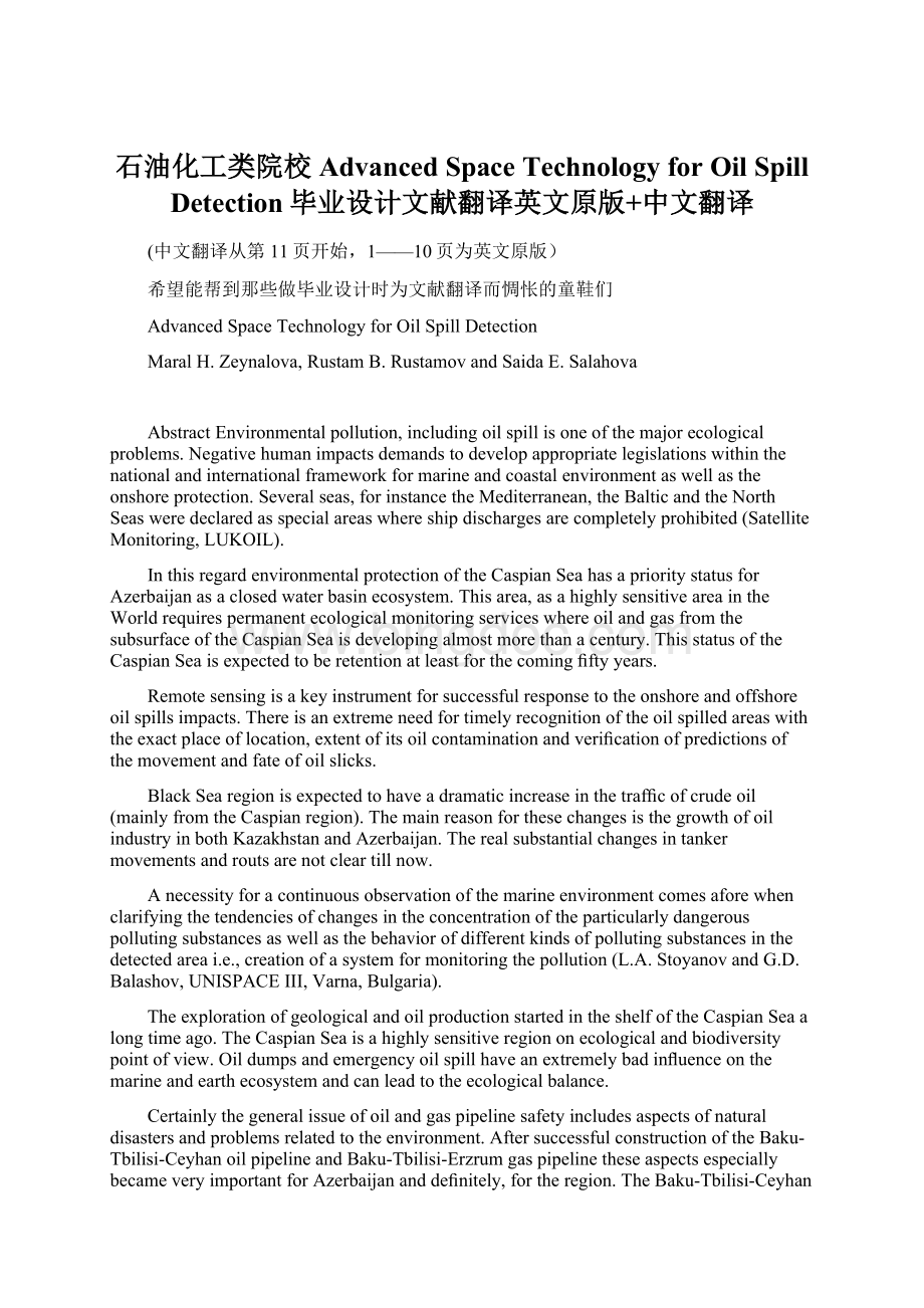
Oilproductionandtransportationisstartedontheoffshore“Azeri–Chiraq–Guneshli”oilfield,locatedattheAzerbaijanisectoroftheCaspianSea.ThereforedevelopmentandimplementationofonshoreandoffshoreoilspillmonitoringanddetectionarehighlyimportantfortheCaspianSeabasincountries.Figure1showstheoverallmapoftheCaspianSearegioncountries.
OilstatisticsofthemajorCaspianSeaoilproducingcountriesarepresentedinTable1.
Forvisualobservationsofoilspillfromtheairusingthevideophotographyarethesimplest,mostcommonandconvenientmethodofdeterminingthelocationandextent(scaleandsize)ofanoilspill.Thereareanumberofsensorsonsurveillanceoftheseasurface:
●Microwaveradiometerswhichallowthedeterminationoftheoilthickness;
●Ultravioletandinfraredscannerswhichallowtodetectrespectivelyverythinandverythickoilfilms;
●Laserfluorescencesensorswhichallowthedeterminationofoiltype.
Fig.1OverallmapoftheCaspianSearegioncountries
Applicationofremotesensingmethodforspilledoilcanbediscoveredusingahelicopter,particularlyovernear-shorewaterswheretheirflexibilityisanadvantagealongintricatecoastingwithcliffs,covesandislands.Forthespillresponseeffortstobefocusedonthemostsignificantareasofthespill,itisimportanttotakeintoconsiderationrelativeandheaviestconcentrationsofoil.Geographicalpositioningsystems(GPS)orotheravailableaircraftpositioningsystemscreatesapositiveenvironmentforlocalizationoftheoillocation.Photography,particularlydigitalphotogr
 升级会员
升级会员 