地图函数结构Word格式文档下载.docx
《地图函数结构Word格式文档下载.docx》由会员分享,可在线阅读,更多相关《地图函数结构Word格式文档下载.docx(15页珍藏版)》请在冰点文库上搜索。

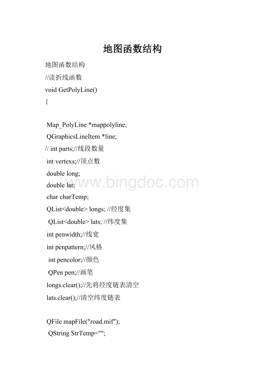
QStringStrTemp="
"
;
intok=mapFile.open(QIODevice:
:
ReadOnly);
if(ok)
{
QTextStreamt(&
mapFile);
while(StrTemp!
="
Data"
)
t>
>
StrTemp;
}
while(!
t.atEnd())
while(StrTemp!
Pline"
t>
StrTemp;
vertexs;
//读线段段数
//qDebug()<
<
vertexs="
vertexs;
//调试时输出顶点数
for(inti=0;
i<
i++)
{
long>
lat;
longs.append(long);
lats.append(lat);
}
charTemp;
while(charTemp!
='
('
penwidth>
charTemp>
penpattern>
pencolor>
//读线宽,风格,颜色。
pen.setWidth(penwidth);
//设线宽
pen.setStyle(Qt:
SolidLine);
//设画线风格为实线
pen.setColor(pencolor);
//设画笔颜色
if(longs.count()>
0&
&
(longs.count()==lats.count()))
{
mappolyline=newMap_PolyLine();
}
else
return;
//函数结束,不执行后面的语句
for(i=0;
longs.count()-1;
line=newQGraphicsLineItem();
line->
setLine(QLineF(convertCoord(longs.at(i),lats.at(i)),convertCoord(longs.at(i+1),lats.at(i+1))));
//line->
setLine(QLineF(convertCoord(lats.at(i),longs.at(i)),convertCoord(lats.at(i+1),longs.at(i+1))));
setPen(pen);
mappolyline->
mapPolyLine.append(line);
mapPolyLines.append(mappolyline);
//添加一个折线对象进折线链表
}
}
//读区域函数
voidMap_Layer:
GetRegion(mitab_featurefeature,QStringList&
fields)
Map_Region*region;
//定义指向区域类的指针
QPolygonF*polygon;
//
Map_Field*field;
//定义指向结构体的指针
intparts;
//线段数量
//顶点数量
//暂存经度
intpencolor;
QPenpen;
intbrushcolor;
//区域填充颜色
intbrushpattern;
//填充风格
//QBrushbrush(QColor(Qt:
black));
//这里比较ds奇怪,必须这样,后面的setColor才起作用
block.mif"
Region1"
//读区域顶点数量
//设画笔颜色,风格为实线,线宽
pen.setColor(pencolor);
pen.setStyle(Qt:
pen.setWidth(penwidth);
//pen.setBrush(QBrush(QColor(Qt:
blue)));
/*if(penpattern==2)
{
}
else
DashLine);
}*/
brushcolor=mitab_c_get_brush_fgcolor(feature);
//读取填充颜色
//qDebug()<
fgbrushcolor="
brushcolor;
brushpattern=mitab_c_get_brush_pattern(feature);
brushpattern="
brushpattern;
brush.setColor(QColor(brushcolor));
region=newMap_Region();
for(i=0;
fields.count();
field=newMap_Field;
//开地图区域结构体保存区域名,区域填充
field->
fieldName=fields.at(i);
//读区域名
fieldContent=mitab_c_get_field_as_string(feature,i);
//
qDebug()<
fieldNameis"
field->
fieldName<
fieldcontentis"
fieldContent;
region->
mapFields.append(field);
if(field->
fieldName=="
Name"
regionName->
setPlainText(field->
fieldContent);
parts=mitab_c_get_parts(feature);
//读对象折线段数量
parts="
parts;
vertexs=mitab_c_get_vertex_count(feature,i);
//读顶点数
for(j=0;
j<
j++)
longs.append(mitab_c_get_vertex_x(feature,i,j));
lats.append(mitab_c_get_vertex_y(feature,i,j));
if(longs.count()>
//region=newMap_Region();
polygon=newQPolygonF();
return;
count="
longs;
longs.count();
{
polygon->
append(QPointF(convertCoord(longs.at(i),lats.at(i))));
if(polygon->
count()>
0)
X="
polygon->
boundingRect().center().x()<
Y="
boundingRect().center().y();
//region->
setX(polygon->
boundingRect().center().x());
setY(polygon->
boundingRect().center().y());
mapPolygon->
setBrush(brush);
setPolygon(*polygon);
mapRegions.append(region);
//另外的读取方法(一个图元的显示)
if(graphicsName=="
Region"
laton>
count>
count;
//记录区域顶点数
for(inti=0;
laton>
x>
y;
//x存放经度,y存放纬度
point=newQPointF(((x-x1)/wx)*w-w/2,((y1-y)/hy)*h-h/2);
//把经纬度转为QGraphicsSense坐标后存到point中
pointfRegion<
*point;
//把转换后的点存进pointfRegion容器中
pPolygonF=newQPolygonF(pointfRegion);
//创建多边形
pPolygonItem=newQGraphicsPolygonItem(*pPolygonF);
//创建多边形图元
if(graphicsAttribute=="
Pen"
)//一个图元的点描述后就是该图元的边界画笔,用Pen表示
latlon>
penColor;
sColor.append(penColor);
pen.setColor(QColor(sColor.section("
"
2,2),remove(Qchar('
)'
),Qt:
CaseInsensitive).toDouble()));
//获取画笔颜色
pPolygonItem->
//设置图元边界颜色
Brush"
)//该图元的边界画笔描述完,继续用Brush表示填充颜色
brushColor;
sColor.append(brushColor);
brush.setColor(sColor.section("
1,1).toDouble);
pPolygonItem->
//对图元进行颜色填充
scene->
addIten(pPolygonItem);
//最后把图元添加到画布上
classMapTextItem
public:
MapTextItem(QStringstr);
MapTextItem();
virtual~MapTextItem(void);
QGraphicsTextItem*mapTextItem;
//存放当前QGraphicsTextItem的地址
MapTextItem*nextTextItem;
//存放下一个QgraphicsTextItem的地址
};
通过对数据的处理而获取所有地图中文本图元。
当检测到一个图元是就添加到链表的末端,直到没有为止。
if(graphicsName=="
Text"
latlon>
graphicsName;
//获取文本信息
x>
mapText=newMapTextItem(graphicsName);
mapText->
mapTextItem->
setPos(((x-x1)/wx)*w-w/2,((y1-y)/hy)*h-h/2);
addItem(mapText->
mapTextItem);
//在地图上面显示
nextTextItem=mapTextItem->
nextTextItem;
mapTextItem->
nextTextItem=mapText;
//连接到链表中
voidreadMap()
null"
if(!
while()
x1>
y1>
x2>
y2;
map.load(mapName);
if(map.isNull())
printf("
mapisnull"
平面点a(x1,y1),b(x2,y2)
距离l=sqrt((x1-x2)(平方)+(y1-y2)(平方))
typedefstruct
intId1;
QList<
int>
overIds;
}overlapPoints;
QList<
overlapPoints>
overPointList;
overlapPointspointTemp;
for(inti=0;
i<
nodeList.length();
i++)
pointTemp.Id1=nodeList.at(i).nodeId;
for(intj=i+1;
j<
j++)
if(nodeList.at(j).latlon.longitude==nodeList.at(i).latlon.longitude&
nodeList.at(j).latlon.latitude==nodeList.at(i).latlon.latitude)
inttemp=nodeList.at(j).nodeId;
pointTemp.overIds.append(temp);
nodeList.removeAt(j);
j--;
if(pointTemp.overIds.count()>
=1)
overPointList.append(pointTemp);
intk;
k=nodeList.at(i).nodeId;
nodeList.at(i).nodeId=i;
for(intj=0;
overPointList.count();
if(overPointList.at(j).Id1==k)
if(roadList.at(k/2).startId==k)
roadList.at(k/2).startId=i;
else
roadList.at(k/2).endId=i;
for(intm=0;
m<
overPointList.at(j).overIds.count();
m++)
inttemp=overPointList.at(j).overIds.at(m);
if(roadList.at(temp/2).startId==temp)
roadList.at(temp/2).startId=i;
roadList.at(temp/2).endId=i;
overPointList.removeAt(j);